The Web-Connected Cockpit: Engineering Low-Latency Drone Control Over the Cloud
 August 27, 20265 min read
There is a fundamental law in aviation: failure is not an option. When you translate this rule into the world of software engineering—specifically, controlling a multi-thousand-dollar physical drone carrying high-value assets over a cellular network from a standard web browser—the margin for error shrinks to absolute zero.
This was the core challenge we faced when building an enterprise-grade drone management and operation platform. The goal was highly ambitious: allow an operator sitting in an office to pilot a drone via a web-based dashboard, while a local safety pilot stands by on-site with a physical Remote Controller (RC).
Building this required us to bridge the gap between heavy, low-level hardware SDKs and highly dynamic web protocols. Here is a look inside the architectural decisions, trade-offs, and edge-case handling that made cloud-based drone flight a safe, low-latency reality.
Part 1: Bypassing the SDK Lock-In with a Control Abstraction Layer (CAL)
Our mobile pilot application was built on top of the DJI Mobile SDK. While hardware manufacturer SDKs provide the necessary APIs to interact with drone hardware, they are notoriously rigid and deeply coupled with specific mobile platform Lifecycles.
If we had plugged our web control logic directly into the DJI SDK, any upstream SDK deprecation or hardware swap (e.g., migrating to an Autel or custom PX4-based drone) would have broken our entire cloud infrastructure.
To prevent this, we engineered a Control Abstraction Layer (CAL).

The CAL acts as an untethered interpreter. Instead of exposing DJI-specific methods to our WebSockets, the web control panel speaks a highly normalized, custom JSON protocol. The CAL on the mobile device consumes these generic commands (e.g., setPitch(0.5), triggerRTH()), validates them against runtime safety limits, and maps them to the appropriate SDK calls.
This abstraction meant we could evolve our web control interfaces and core cloud business logic independently of whichever physical drone model was currently in the air.
Part 2: Splitting the Airwaves (Why We Separated FPV Video from Telemetry)
When web developers think about low latency, they often optimize database queries or API payloads. When you pilot a drone, latency is measured in physical meters traveled before a command registers. If your connection suffers a 2-second lag while the drone is flying at 10 m/s, the drone has traveled 20 meters blind.
Our first major hurdle was network congestion. A live drone flight generates two heavy, continuous streams of data:
- First-Person View (FPV) Video: A high-bandwidth, continuous stream of H.264/H.265 video frames.
- Control and Telemetry Data: Lightweight but highly time-sensitive signals containing GPS coordinates, pitch, roll, yaw, battery status, and pilot command inputs.
In early prototypes, transmitting both streams over a single cellular connection caused severe packet contention. Whenever the video stream spiked in bitrate (e.g., during rapid camera panning), it congested the socket, causing telemetry data to queue up. The pilot on the web dashboard experienced "laggy" controls and stale telemetry.
The Solution: Dedicated Communication Pipelines
We completely separated the communication paths. We routed the FPV video stream through an optimized WebRTC pipeline, utilizing UDP to prioritize frame-rate over absolute image quality.
Simultaneously, we dedicated a separate, lightweight WebSocket connection exclusively for control inputs and telemetry data. By removing video data from the WebSocket pipeline, we ensured that critical flight commands and location updates had a clear, unblocked path, keeping telemetry latency strictly under 100ms over 4G/5G networks.

Part 3: Telemetry Serialization and the "Single Source of Truth"
A major headache with drone hardware is the inconsistent formats in which telemetry data is reported. Different drone sensors report altitude in different ways (some use barometric pressure relative to the takeoff point, others use absolute GPS altitude relative to sea level).
To prevent our frontend web dashboard and mobile app from having to constantly calculate conversions—which burns browser memory and CPU cycles—the CAL normalizes all sensor data at the edge (on the mobile app).
Before any telemetry packet leaves the pilot app, it is serialized into a highly structured, standard JSON payload:
{
  "timestamp": 1782376421000,
  "system_status": "flying",
  "position": {
    "latitude": 45.4215,
    "longitude": -75.6972,
    "altitude_msl": 120.4,
    "altitude_relative": 45.2
  },
  "dynamics": {
    "heading": 184.2,
    "velocity_x": 4.2,
    "velocity_y": 0.1,
    "velocity_z": -0.5
  },
  "diagnostics": {
    "battery_percentage": 78,
    "signal_strength_rssi": -65
  }
}
By standardizing this payload at the edge, our cloud backend can serve as an efficient distribution hub, broadcasting the exact same data to Web clients, monitoring services, and logging databases without performing any heavy parsing or transformation.
Part 4: The "What If" Principle (Fail-Safes and Physical Override)
When building an operational backbone that interacts with the physical world, you must design for failure. Networks drop, browsers crash, and cellular signals fade.
To ensure safety, we implemented a strict hierarchy of control:
- Local RC Dominance: The local safety pilot holding the physical Remote Controller (RC) always has absolute, hardware-level priority. The moment the local pilot moves a physical joystick on the RC, the mobile app's CAL immediately surrenders virtual control. The web operator is locked out, and the local pilot takes manual command. This safety override is built directly into our on-device state machine and executes with zero dependency on the cloud network.
- Lost Connection Protocol (LCP): If the WebSocket connection between the Web Dashboard and the Mobile App drops for more than 3 seconds while the drone is in "Web Control" mode, the CAL automatically instructs the drone to halt, hover in place, and wait for reconnection. If the connection isn't restored within 30 seconds, the drone initiates an automated Return to Home (RTH) protocol, returning safely to its takeoff coordinates.
Part 5: Enterprise Scaling: White-Labeling the Sky
The system was designed from day one as a multi-organization platform. Different enterprise clients (e.g., construction companies, agricultural surveyors, or security teams) need to manage their own drone fleets, plan localized flight paths, and restrict access to their specific organization's flight logs and media assets.
Instead of maintaining separate server environments for each customer, we designed a white-label, multi-tenant database schema.
- Every drone, user, flight plan, and recorded video is bound to an
organization_id. - The API gateway enforces strict workspace isolation, ensuring that organizational data is completely segregated at the query level.
- The frontend layout, mapping styles, and email notifications dynamically adapt based on the tenant's brand configuration, allowing our client to sell the platform as a proprietary solution to their own enterprise customers.
Building Operations That Move the World
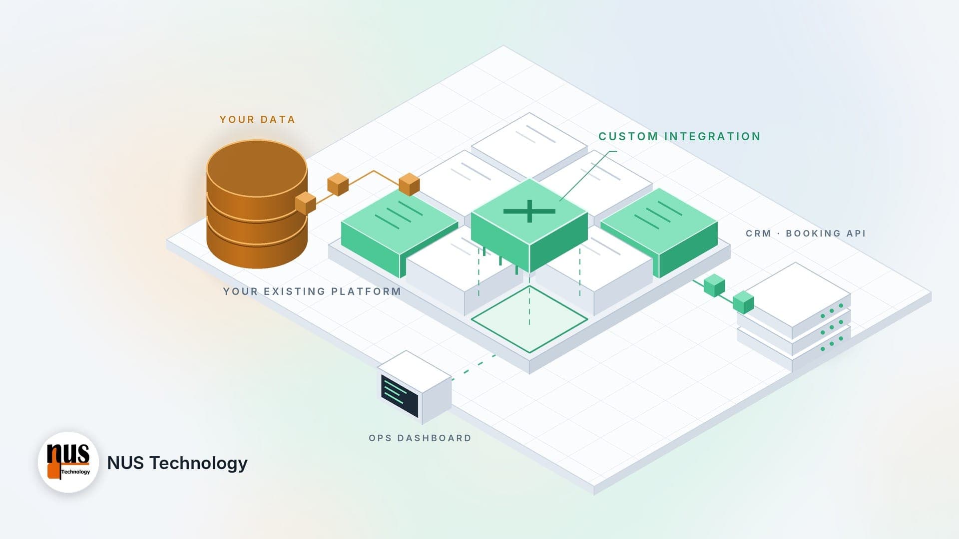
At NUS Technology, we don't just build typical web forms or standard CRUD applications. We specialize in Complex System Integration and Workflow Automation where virtual software must interface seamlessly with real-world infrastructure—whether that is legacy enterprise ERPs, global payment processors, or real-time IoT hardware.
We don't disappear after launching an MVP; we partner with you as an extension of your internal engineering team to optimize, scale, and secure your systems as your operations grow.
If your business is outgrowing its current software or if you are looking to build a highly reliable operational backbone, Schedule a Strategy Session with NUS Technology today. Let's discuss how we can turn your complex operational workflows into a seamless, highly scalable digital asset.